CASE STUDY: SOUTH EAST STONEY TRAIL
Project Description
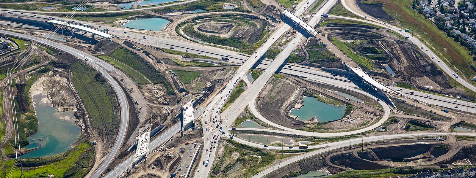
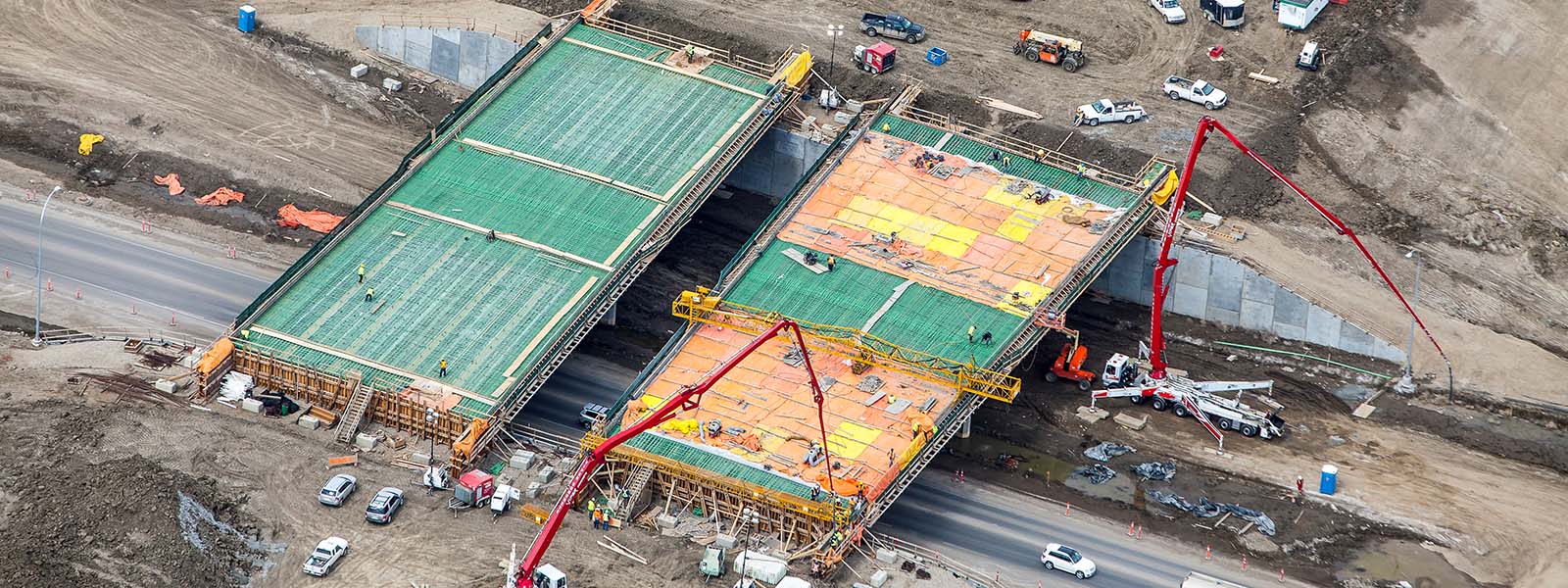
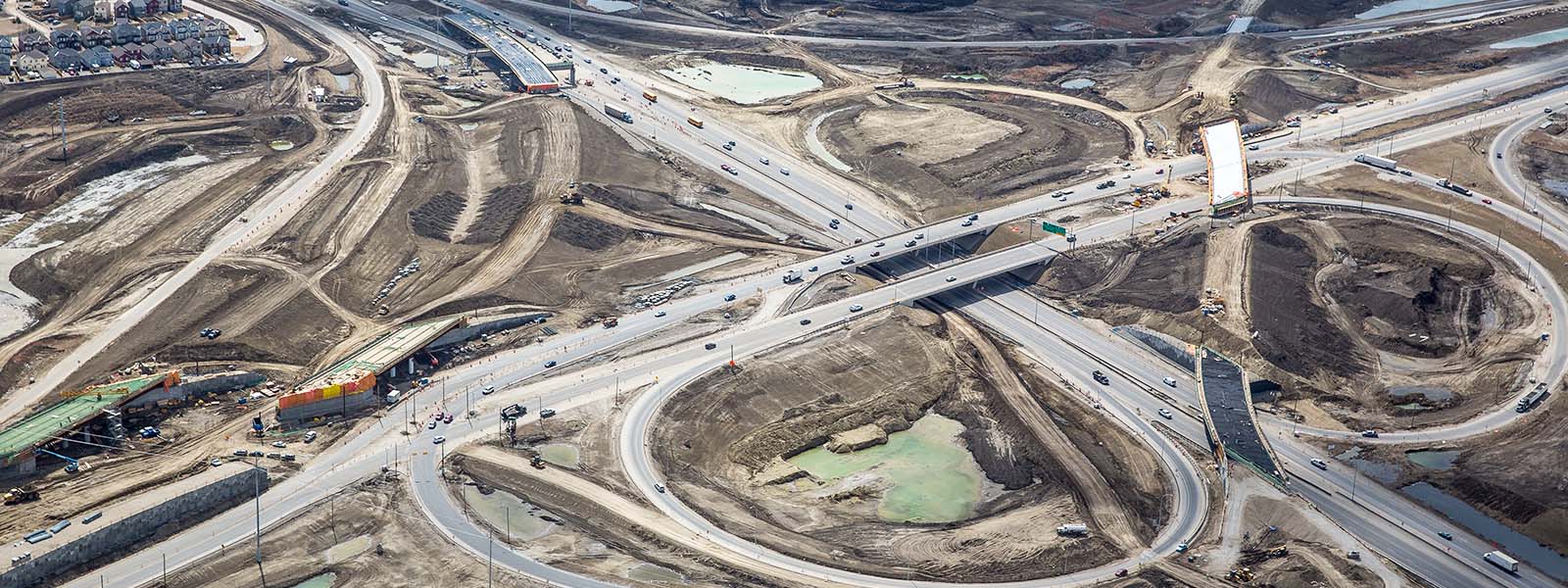
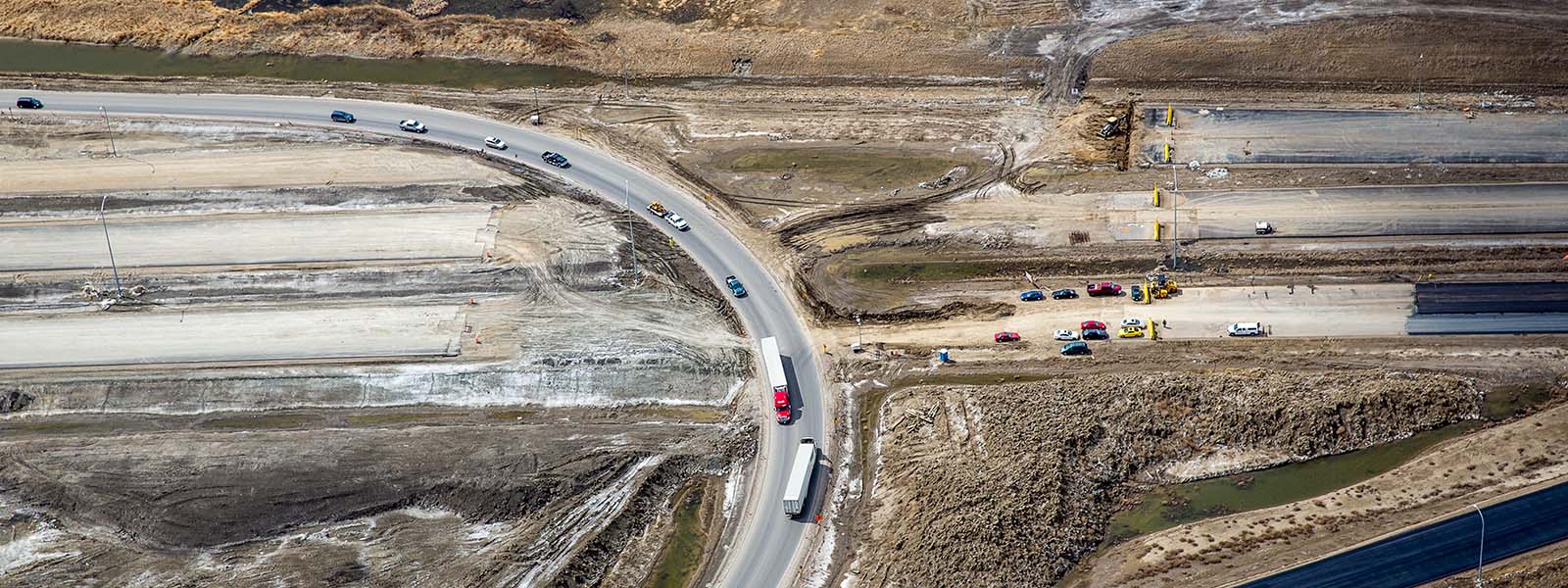
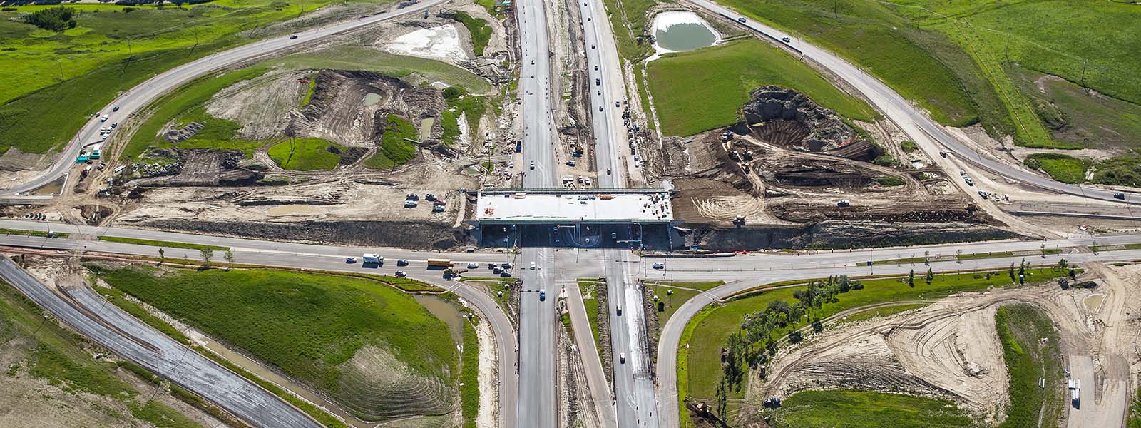
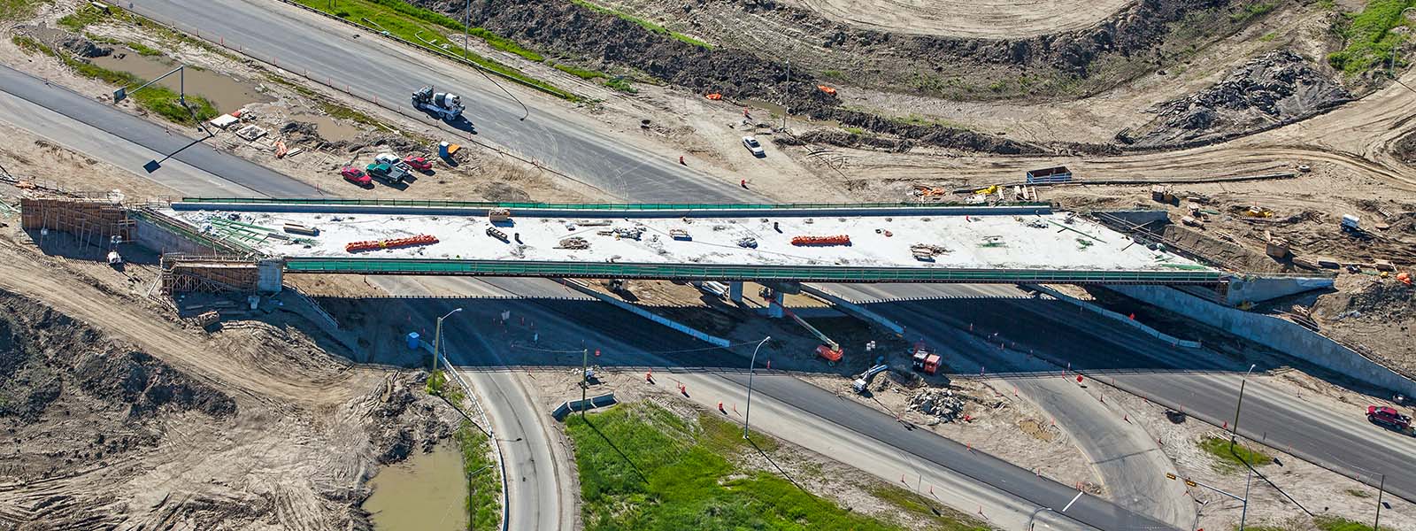
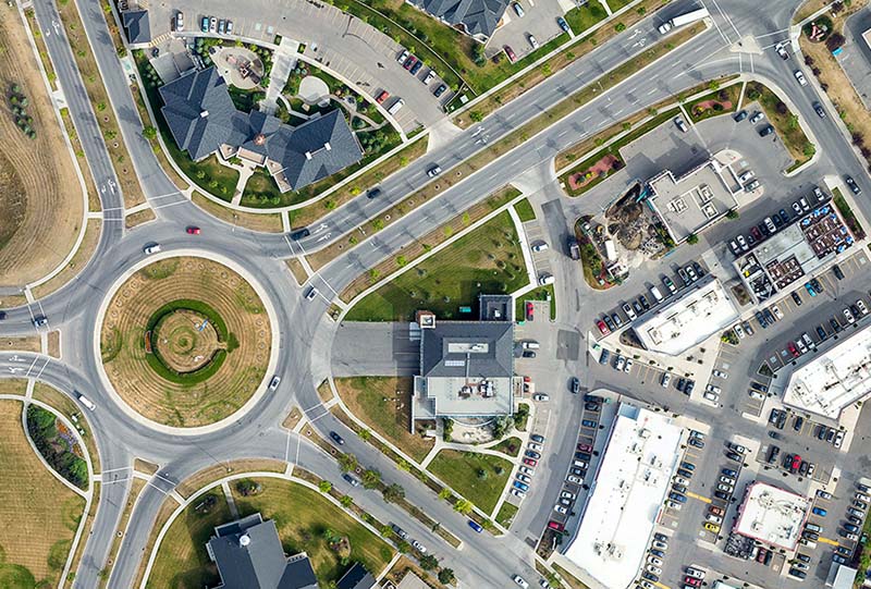
The Project: We were awarded the contract to provide aerial progress photography for the entire 25 km section of the South East Stoney Trail, a large portion of the Calgary Ring Road.
How we did it: The photography was done from a helicopter flying the entire length of the highway and orbiting each of a dozen intersections. Every inch of highway was photographed on a regular basis and delivered as high resolution files.