CASE STUDY: McKENZIE TOWNE, AN AERIAL MAP
Project Description
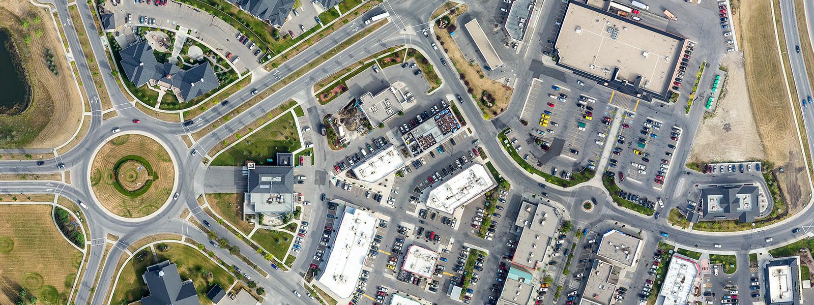
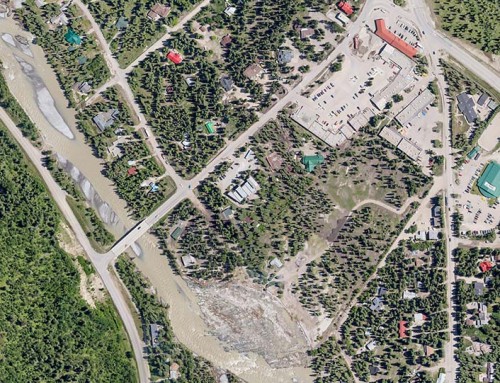
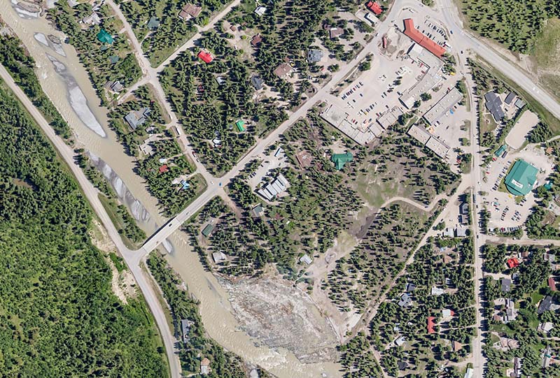
The Project: We were doing some oblique photos for the community when the subject of creating an aerial map came up and the folks at McKenzie Towne were very amenable to the project.
How we did it: We took hundreds of vertical images from a helicopter and stitched them together to create a very high (25GB!) resolution map of the entire McKenzie Towne area. We lowered the resolution to a more manageable but still high res file and created an interactive map that can be viewed online and we are very happy with the result. Please check it out by clicking the link below.
Project URL: McKenzie Towne Aerial Map